How Your Ancestors Transformed The Midwest to What We Love Today
The Midwest is more than a sprawling area of corn fields, farm animals, lakes, and flat lands. And while the Midwestern states have all of this, they also contain rich history about your ancestors. In fact, their settlement, including their migration routes and the trials they overcame, helps you connect to your past and receive a deeper understanding of your sense of self. You’d be surprised how much you learn about your identity when you connect with the ancestors who helped create the life you have today. Let’s dive in to receive a history lesson on how your ancestors settled in the Midwest.
What states are included in the Midwest?
While every genealogist may have a different answer to this question, in this historical overview, we're specifically including Illinois, Indiana, Iowa, Michigan, Minnesota, Missouri, Ohio, and Wisconsin. Depending on your ancestors’ places of settlement, you could have family in several of these states. Learning about their settlement patterns provides a lot of benefits for understanding your Midwestern roots.
Why Study Midwest Settlement Patterns?
As it turns out, many of us had ancestors who traveled west in the 1800s. Knowing their settlement patterns gives you exciting clues about how your ancestors traveled, the land they bought, what they experienced, and information about your past family connections.
Early settlement
Before settlers arrived, the first people living in the Midwest were Native Americans from many different tribes. Yet, with the influx of settlers starting in the 1700s, everything changed. Their lands which they occupied for centuries, customs, and way of life were turned upside down.
The first influx of settlers were mainly French-Canadian and British fur traders who arrived to trade European goods for felt hats made of beaver fur. They used the Great Lakes as their main routes for trading, and many stayed in the Northern part of the Midwest. Riversand lakes were the first available “highway” that provided a trifecta of benefits; no more harsh treks through dense woods or prairies, a constant source of water and food, and nearby shelter in the woods.
Proximity to the rivers also allowed Missouri to be settled earlier than states farther east and north like Michigan and Wisconsin. States along the Ohio River (Ohio, Indiana, Illinois) settled from south to north. By the 1820s, settlers were using steamboats for travel, work, and daily life.
Here are a few examples of early river settlements;
Ohio: Marietta (1788) on the Ohio River. Later, Cincinnati. Settlers went overland to Pittsburgh and traveled down the Ohio River.
Indiana: Vincennes (1732) on the Wabash
Illinois: Along the Illinois River, Fort Crevecoeur, now Peoria (1680). Later, the earliest American settlers crossed into southern Illinois over the Ohio River from Kentucky (around 1800).
Missouri: Along the Mississippi and Missouri Rivers—St. Genevieve (1735), St. Louis (1764), St. Charles (1769).
Iowa: Dubuque (1833) along the Mississippi
Wisconsin: Prairie du Chien (1781), along the Mississippi
Minnesota: Fort Snelling (1819) at the junction of Minnesota and Mississippi Rivers
Settlers from the eastern U.S., as well as Northern and Western Europe, including Germany, Scandinavia, and the British Isles, quickly occupied the land. Their arrival transformed the Midwest into what we now know today. Each Midwestern state is home to a melting pot of different ethnic groups.
Transportation improvements
After the settlers arrived, they quickly created a transportation infrastructure - you could say they were on the move! From rivers to trails to roads to canals to railroads, they transformed every inch of the Midwest.
Canals
Canals were quickly constructed to save settlers time and money. The Erie Canal in New York, for example, opened the northern tier of the Midwest, creating an easier route west from the northeast. The success of the Erie Canal provided the confidence for many other funded projects. For example, canals in Ohio, Indiana, and Illinois allowed the transportation of goods to market and for quicker travel within a state.
Roads and Trails
Many earlier roads followed the exact Native American trails but were improved and enlarged to support wagon traffic. In 1820, another innovative addition was the National Road, a national highway that provided thousands of settlers with a route from Maryland to Illinois. Construction continued and eventually reached St. Louis, Missouri, in 1838. Later, in 1840, the Oregon trail went from western Missouri to Oregon City. Many other significant trails continued popping up during the course of the Westward Expansion.
Railroads
The development of railroads first began in the 1830s, and they quickly expanded in the 1840s and 1850s. Rail lines were first developed in the Eastern Midwest states, like Ohio, Indiana, and Illinois. This was in large part due to their proximity to rivers. Moving farther west, the first line built in Missouri was the Hannibal and St. Joseph Railroad. The goal was to connect the cities along the Missouri River. If your ancestors migrated after 1850, they most likely traveled by rail and got to experience all the transportation innovations the previous settlers created.
Availability of land
Settlers faced several obstacles to claim Midwestern land but ultimately were able to triumph and begin building their lives.
Cessions of Native American land
The government systematically negotiated treaties and fought wars with Native Americans as settlement moved westward. One clue to determining the settlement pattern of any given state is to look at when different sections of land were ceded—federal land surveyors and land offices soon followed.
Federal land surveys / offices
The Federal government began surveying land in Ohio shortly after the Northwest Territory was established. After several experiments in Ohio, it settled on the Public Land Survey System used in all the states from Indiana to the west. The pattern in which land offices opened generally followed the cessions of Native American land, including moving inward from navigable rivers.
Military bounty land
The federal government provided bounty land, a reward of free land to citizens who served in the military between 1775 and 1856.
Homestead Act of 1862
Abraham Lincoln signed the Homestead Act of 1862, which provided 160 areas of public land to anyone 21 years of age or older who agreed to farm it. It was a revolutionary concept that accelerated settlement in the United States, including the Midwest.
Technology improvements
Your ancestors faced several hardships upon arriving in the Midwest. Specifically, they didn't quite understand how to farm the land, had few materials, and experienced harsh weather (many of us can relate). Yet technological advancements like the steel plow, windmills, canals, railroads, and stagecoaches allowed them to farm and get their crops to market more efficiently.
Desire for a better life / more opportunity
After the homestead act passed, earlier-settled states ran out of land as the population grew. As a result, many young families headed west where land was available. Yet, at the same time, cities like Detroit and Chicago worked instead on providing industrial jobs and opportunities for expansion.
Learn more about your Midwestern roots
Want to know more information about your ancestor’s contributions and settlement routes? It’s possible to receive specific stories about your family members and how they transformed the Midwest into what we love today. If you need help with your family tree, please schedule a free consultation with Heritage Bridge or read how to find a good genealogist you can trust. We’re here to help you on your ancestral journey in any way you need.
Images:
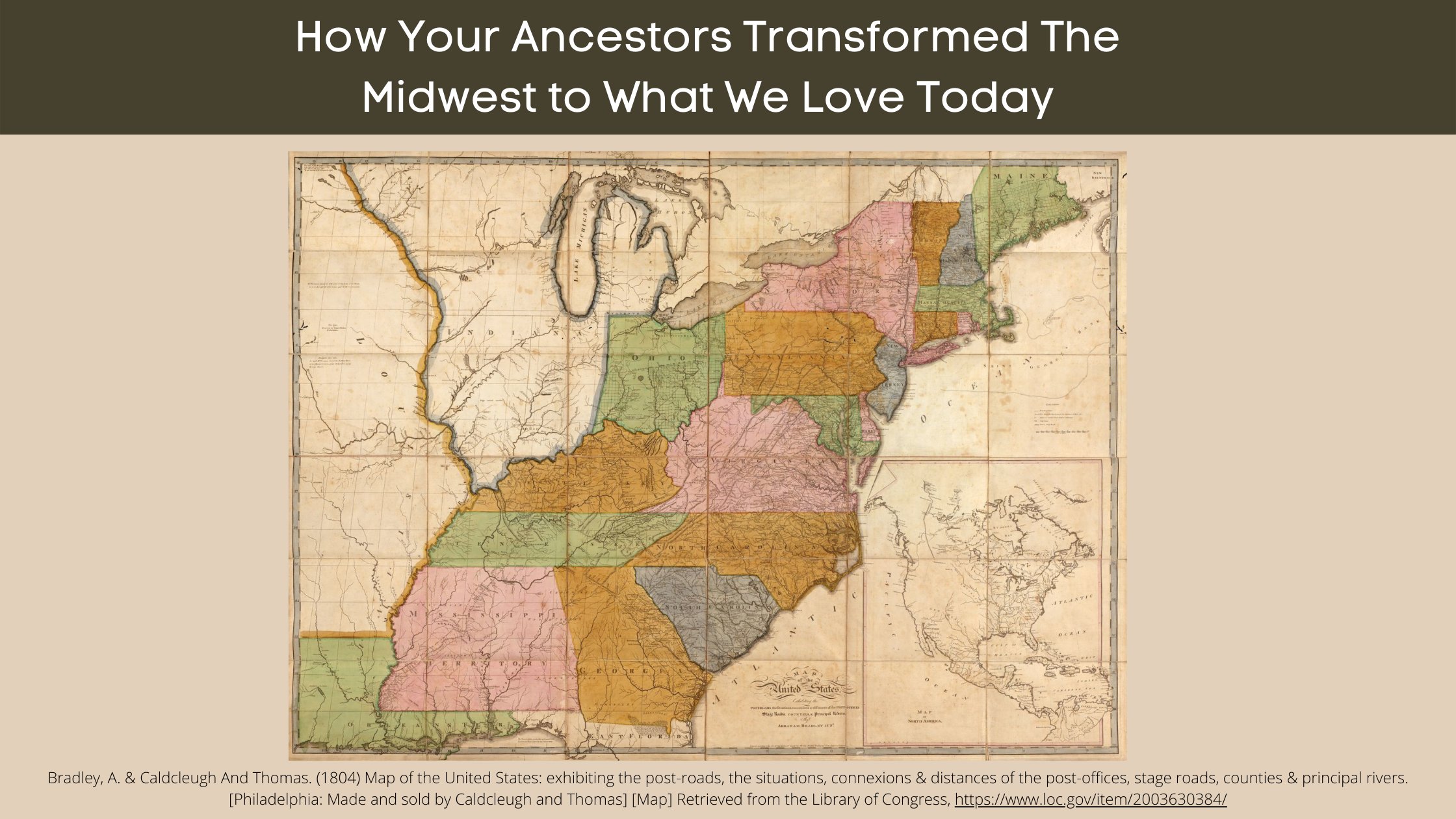
Bradley, A. & Caldcleugh And Thomas. (1804) Map of the United States: exhibiting the post-roads, the situations, connexions & distances of the post-offices, stage roads, counties & principal rivers. [Philadelphia: Made and sold by Caldcleugh and Thomas] [Map] Retrieved from the Library of Congress, https://www.loc.gov/item/2003630384/
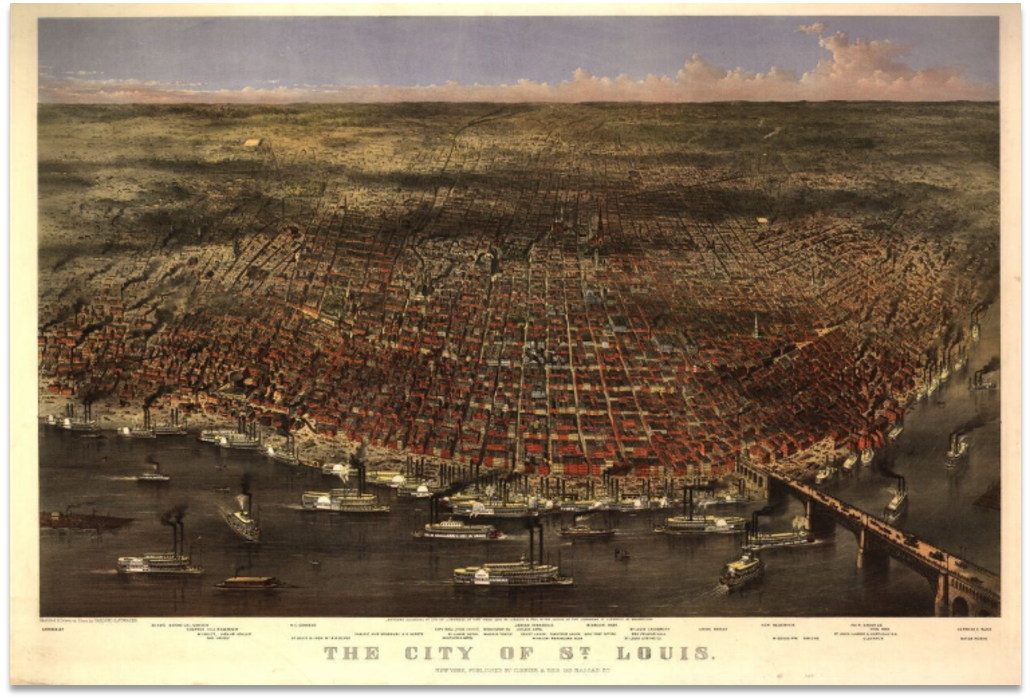
Currier & Ives, and Parsons & Atwater. The city of St. Louis / sketched & drawn on stone by Parsons & Atwater. New York: Published by Currier & Ives. Photograph. Retrieved from the Library of Congress, www.loc.gov/item/90716009/